Your navigation assistant is an ideal co-pilot on a daily basis, making all your trips easier and more efficient. If the first GPSs only allowed you to travel from point A to point B, today’s devices offer a vast number of additional features. From now on, your GPS tool allows you to visualize the speed limits in force, the radars but also all the points of interest (restaurants, petrol stations, specific shops…) on your route.

Navigation assistant: additional features
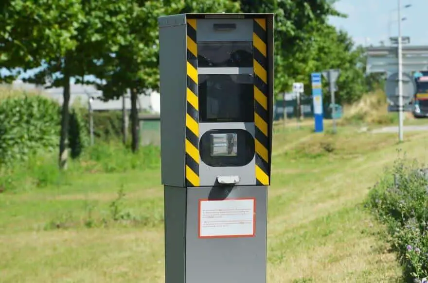
When you buy a GPS or equip your vehicle with a navigation system, base mapping includespoints of interest (POIs) and fixed radars. POIs can be used to reference many places that might be of interest to you during your trip: hotels, restaurants, tourist sites, stations, car parks… Valuable information to make the most of all your travels! Just like radars and danger zones, which allow you to adapt your driving and avoid losing unnecessary points on your licence.
Danger zones and radars
To drive in complete serenity, current GPS systems offer to warn you when you enter a danger zone. This allows you to adjust your speed and slow down as needed. Depending on the device you own, there is also the possibility of benefiting from real-time information: this feature allows you to be warned about risk areas. These alerts are a real help when travelling, but vigilance is still the best prevention: of course, remember to respect the speed limits in force.

POI: Point of Interest
Points of interest are added to your GPS map. They allow you to easily and quickly find a place while staying focused on your route. For example, they are very useful when you need to fill up and are looking for the nearest station. During your trip, do you want to stop for lunch at the restaurant? This option then allows you to search for establishments all around you and add them as a step in your journey.
Updating radars and POIs on your GPS
Like the road network, this information is intended to evolve and transform over time. For safe driving and optimized trips, it is important to update your maps. This way, you benefit from all the new points of interest and radars on your way. Depending on the device you are using, the procedure is not the same.
Update the maps on an on board GPS
Do you have a navigation system directly integrated into your vehicle? We invite you to visit the website HERE , the official supplier of all cartographies for the largest automotive manufacturers. You will then be able to enter the model of your car and directly access the instructions to update your map. Be careful, it is necessary to check that the proposed update includes new points of interest and radars. Feel free to contact your manufacturer to make sure.
Update on Nomadic Navigation Assistant
If you use a mobile GPS, you can update the maps directly on your supplier’s website. The procedure differs depending on the model of your device. Most of the time, as is the case for the leaders Garmin and TomTom, an online shop is at your disposal. The site then allows you to purchase an up-to-datemap and include points of interest and danger areas. When purchasing your equipment, it is important to check how the update system works. Some GPS systems include free updates; others offer an annual subscription package. In any case, you will find on GPS Update detailed sheets for each supplier, indicating the procedure to follow.
The POI Base software
An alternative solution to take advantage of constantly updated points of interest: the POI Base software. This tool can be installed on all GPS devices, whether they are on-board or mobile. It gives you access to more than 10,000 points of interest, divided into more than 1000 categories. Go directly to their website to discover the many advantages of this software.
Use a navigation assistant with real-time data
While map updates allow you to know the latest points of interest and new fixed speed cameras, a grey area remains on the board: real-time hazards.
The connected GPS devices
The latest GPS models available on the market allow you to benefit from real-time information. These powerful tools are connected and give users the ability to report danger areas instantly. For safe and efficient driving, this option is ideal, in addition to up-to-date mapping. It shows you the traffic conditions and allows you to take the shortest and safest route. In case of danger on your route, you will immediately receive an alert and you can adapt your driving to external hazards. On your side, you also have the possibility to indicate to other users the disruptive elements encountered on your route.
Use a free application
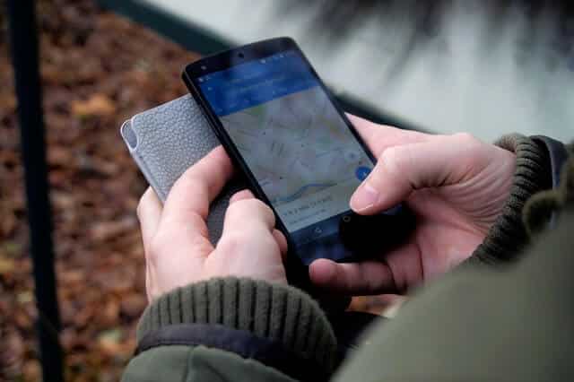
The smartphone revolution in recent years has changed the GPS’ use. From now on, you can access many free or paid applications directly from your phone. Maps, Google Maps, Waze… all these applications allow you to know in real time the traffic jams, danger zones, accidents, works… Many GPS manufacturers now also offer an application to download to be guided directly from your smartphone. These programs also show you all the points of interest on your way.

Use of Coyote for hazardous areas
A true precursor of the radar alarm, Coyote has been equipping vehicles since 2006 thanks to a mobile device alerting them with danger zones. The Coyote community has more than 5 million members across Europe. This service allows you to receive live alerts on the dangers on your route. You can anticipate and adapt your driving, while remaining safe. This device also provides you with constant information on speed limits. The Coyote range is now available in a compact mobile box, as a smartphone application or as an on board solution for Renault and Toyota manufacturers.
